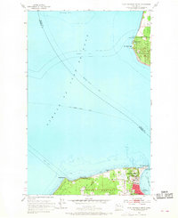
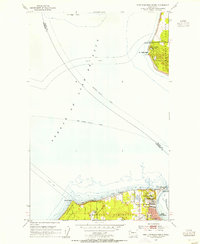
1953 Map of Port Townsend North
USGS Topo · Published 1968About this map
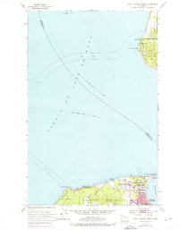
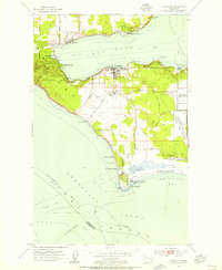
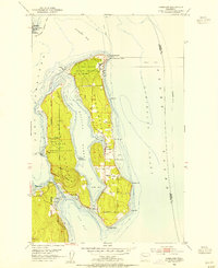
Fort Worden Military Res and Fort Eby Military Res anchor this coastal survey, reflecting the strategic importance of the Quimper Peninsula and Whidbey Island in the mid-20th century. The maritime landscape is defined by the convergence of the Strait of Juan de Fuca and Admiralty Inlet, with vital ferry routes including the Port Angeles - Seattle Ferry and Vancouver - Seattle Ferry crossing the open water. On land, the northern edge of Port Townsend is visible, featuring a network of streets and infrastructure near Point Wilson. Notable landmarks like the Pt Partridge lighthouse and Tibbals Lake provide fixed points for navigating the coastal bluffs and interior terrain. This era of the peninsula shows a heavy military and coast guard footprint, with significant cable areas and reservations marking the entrance to Puget Sound.
Find a feature on this map
24 named features on this map. Tap any name to fly to it.
Don’t see what you’re looking for? This feature index may not catch every label — zoom into the map to look around manually.
Map Details
Editions of this 1953 Port Townsend North Map
3 editions found
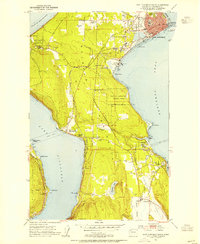
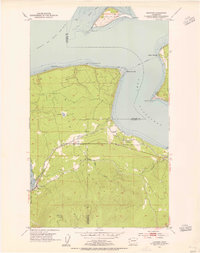
Other maps of this area

1939 · Port Townsend
USGS Topo · 1:62,500

1939 · Coupeville
USGS Topo · 1:62,500

1943 · Richardson
USGS Topo · 1:62,500

1943 · Deception Pass
USGS Topo · 1:62,500

1951 · Deception Pass
USGS Topo · 1:62,500
1953 · Coupeville
USGS Topo · 1:24,000
1953 · Nordland
USGS Topo · 1:24,000
1953 · Port Townsend North
USGS Topo · 1:24,000
1953 · Port Townsend South
USGS Topo · 1:24,000
1953 · Gardiner
USGS Topo · 1:24,000