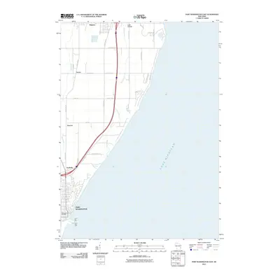
2010 Map of Port Washington East
USGS Topo · Published 2010About this map
Port Washington anchors the southern coastline of this Ozaukee County survey, where the city's harbor is marked by the South Pier Light and South Jetty Light. Moving north along the bluffs of Lake Michigan, the landscape transitions from urban grid to a series of smaller hamlets and rural settlements including Knellsville, Druecker, and Decker. The inland area is defined by the parallel courses of Sauk Creek and Sucker Creek, which drain the agricultural land between the interstate corridor and the lake shore. Significant local infrastructure is centered around the Port Washington Post Office and the northern village of Belgium. This 2010 edition captures the residential expansion north of the city, particularly along Lake Dr and County Hwy-LL, while preserving the distinct identity of older communities like Lake Church.
Find a feature on this map
30 named features on this map. Tap any name to fly to it.
Don’t see what you’re looking for? This feature index may not catch every label — zoom into the map to look around manually.
Map Details
Editions of this 2010 Port Washington East Map
This is the sole edition of this map. No revisions or reprints were ever made.
Other maps of this area

1892 · Port Washington
USGS Topo · 1:62,500

1904 · Port Washington
USGS Topo · 1:62,500

1954 · Sheboygan Falls
USGS Topo · 1:62,500

1954 · Sheboygan South
USGS Topo · 1:62,500

1954 · Milwaukee
USGS Topo · 1:250,000

1958 · Milwaukee
USGS Topo · 1:250,000
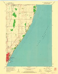
1958 · Port Washington East
USGS Topo · 1:24,000

1959 · Port Washington West
USGS Topo · 1:24,000
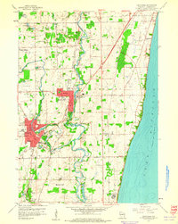
1959 · Cedarburg
USGS Topo · 1:24,000
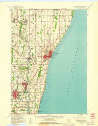
1959 · Port Washington
USGS Topo · 1:62,500