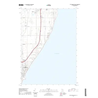
2018 Map of Port Washington East
USGS Topo · Published 2018About this map
The coastal bluff landscape of Ozaukee County is defined by the sharp transition between the Lake Michigan shoreline and the developed corridor of Port Washington. This 2018 survey details the residential and rural expansion moving north from the city center through Knellsville toward the smaller settlements of Decker and Druecker. The terrain is characterized by short, steep drainage systems such as Sucker Cr and Sauk Cr, which cut through the glacial till toward the lake, influencing the placement of coastal roads like Sauk Trail Rd and Lakeview Dr.
Find a feature on this map
51 named features on this map. Tap any name to fly to it.
Don’t see what you’re looking for? This feature index may not catch every label — zoom into the map to look around manually.
Map Details
Editions of this 2018 Port Washington East Map
This is the sole edition of this map. No revisions or reprints were ever made.
Other maps of this area

1892 · Port Washington
USGS Topo · 1:62,500

1904 · Port Washington
USGS Topo · 1:62,500

1954 · Sheboygan Falls
USGS Topo · 1:62,500

1954 · Sheboygan South
USGS Topo · 1:62,500

1954 · Milwaukee
USGS Topo · 1:250,000

1958 · Milwaukee
USGS Topo · 1:250,000
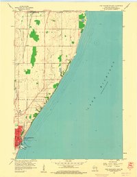
1958 · Port Washington East
USGS Topo · 1:24,000

1959 · Port Washington West
USGS Topo · 1:24,000
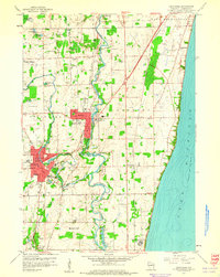
1959 · Cedarburg
USGS Topo · 1:24,000
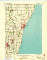
1959 · Port Washington
USGS Topo · 1:62,500