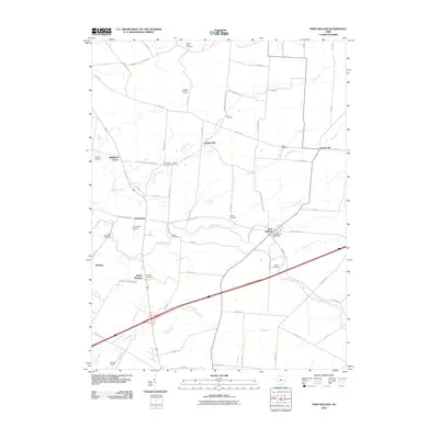
2010 Map of Port William
USGS Topo · Published 2010About this map
Port William serves as the primary hub for this stretch of the Ohio countryside, where the Anderson Fork winds through the landscape. The region is defined by a dense network of family-named roads and rural crossroads settlements such as Paintersville, Gunnerville, and Middleton Corner. A high concentration of historical burial grounds, including Mount Tabor Cemetery, Bab Cemetery, and the Baptist Cemetery, suggests a long-established community with deep genealogical roots.
Find a feature on this map
73 named features on this map. Tap any name to fly to it.
Don’t see what you’re looking for? This feature index may not catch every label — zoom into the map to look around manually.
Map Details
Editions of this 2010 Port William Map
This is the sole edition of this map. No revisions or reprints were ever made.
Other maps of this area

1907 · Blanchester
USGS Topo · 1:62,500

1916 · Octa
USGS Topo · 1:62,500

1917 · Xenia
USGS Topo · 1:62,500

1917 · Sabina
USGS Topo · 1:62,500

1943 · Sabina
USGS Topo · 1:62,500

1944 · Octa
USGS Topo · 1:62,500

1947 · Columbus
USGS Topo · 1:250,000

1955 · New Burlington
USGS Topo · 1:24,000

1955 · Cedarville
USGS Topo · 1:24,000

1955 · Port William
USGS Topo · 1:24,000