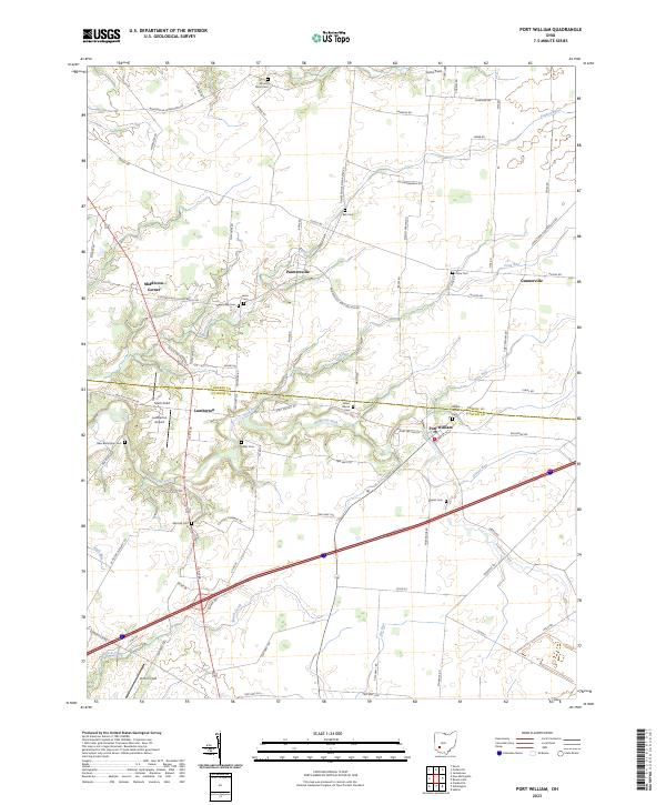
2023 Map of Port William
USGS Topo · Published 2023About this map
Anderson Fork and its various tributaries, including Dutch Creek and Grassy Run, carve through the agricultural landscape of Clinton and Greene counties. The village of Port William stands as the primary hub in a network of smaller crossroads settlements like Paintersville, Lumberton, and Middleton Corner. This area is characterized by its numerous small burial grounds and family plots, such as Salem-Devoe Cem, Maple Grove Cem, and Cline Cem, which provide significant geographic anchors for genealogical research.
Find a feature on this map
93 named features on this map. Tap any name to fly to it.
Don’t see what you’re looking for? This feature index may not catch every label — zoom into the map to look around manually.
Map Details
Editions of this 2023 Port William Map
This is the sole edition of this map. No revisions or reprints were ever made.
Other maps of this area

1907 · Blanchester
USGS Topo · 1:62,500

1916 · Octa
USGS Topo · 1:62,500

1917 · Xenia
USGS Topo · 1:62,500

1917 · Sabina
USGS Topo · 1:62,500

1943 · Sabina
USGS Topo · 1:62,500

1944 · Octa
USGS Topo · 1:62,500

1947 · Columbus
USGS Topo · 1:250,000

1955 · New Burlington
USGS Topo · 1:24,000

1955 · Cedarville
USGS Topo · 1:24,000

1955 · Port William
USGS Topo · 1:24,000
Featured Places
- Port William, OH
- New Jasper Township, OH
- Jefferson Township, OH
- Wilson Township, OH
- Caesarscreek Township, OH