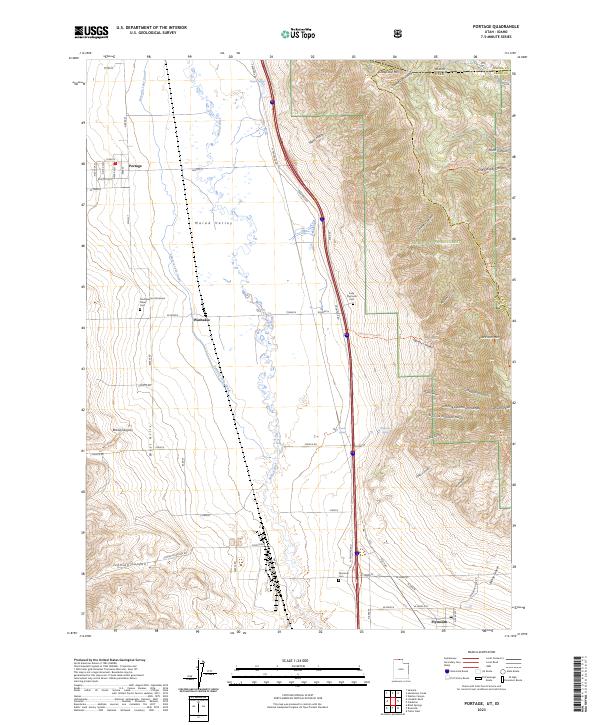
2023 Map of Portage
USGS Topo · Published 2023About this map
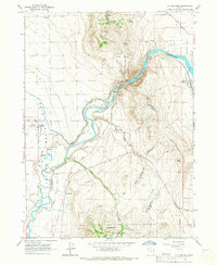
The Malad Valley serves as a critical agricultural and cultural corridor along the Utah-Idaho border, where the Malad River and the Samaria Lake Canal provide essential irrigation for the surrounding plains. This landscape is defined by its deep roots in the Shoshone and pioneer histories, anchored by the Northwestern Shoshoni Tribal Cem near Washakie. To the east, the terrain rises sharply into the Caribou National Forest, where peaks like Clarkston Mtn and Gunsight Peak overlook complex drainages including Elgrove Canyon and Castlegate Canyon. The settlement pattern follows the base of the West Hills, with the towns of Portage and Plymouth connected by the modern corridor and the older paths of the Old Hwy. Numerous family and historic burying grounds, such as the Early Plymouth Cem, are scattered across the valley floor, marking generations of residence in this high mountain basin.
Find a feature on this map
75 named features on this map. Tap any name to fly to it.
Don’t see what you’re looking for? This feature index may not catch every label — zoom into the map to look around manually.
Map Details
Editions of this 2023 Portage Map
This is the sole edition of this map. No revisions or reprints were ever made.
Other maps of this area

1954 · Pocatello
USGS Topo · 1:250,000

1954 · Brigham City
USGS Topo · 1:250,000

1958 · Pocatello
USGS Topo · 1:250,000

1958 · Brigham City
USGS Topo · 1:250,000

1962 · Brigham City
USGS Topo · 1:250,000
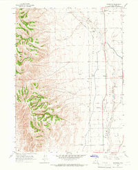
1964 · Riverside
USGS Topo · 1:24,000
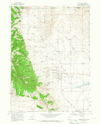
1964 · Clarkston
USGS Topo · 1:24,000
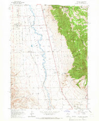
1964 · Portage
USGS Topo · 1:24,000
1964 · Cutler Dam
USGS Topo · 1:24,000

1968 · Samaria
USGS Topo · 1:24,000