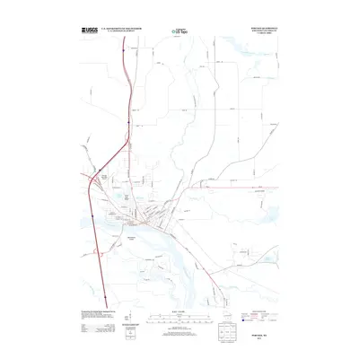
2013 Map of Portage
USGS Topo · Published 2013About this map
Portage sits at a historic continental divide where the Fox River and Wisconsin River nearly meet, a unique geographic relationship defined by the Portage Canal. This 2013 survey illustrates the modern layout of the city and its surrounding water systems, including the complex drainage of French Creek and Duck Creek. The landscape is dotted with recreational and natural landmarks like Silver Lake Beach and Westerberg Island, alongside regional infrastructure such as Portage Municipal Airport and the Coleman Airport further east. Residential and rural developments are shown through a network of named roads including Military Rd and Blackhawk Rd, reflecting the area's continued growth as a hub between these two significant river systems.
Find a feature on this map
89 named features on this map. Tap any name to fly to it.
Don’t see what you’re looking for? This feature index may not catch every label — zoom into the map to look around manually.
Map Details
Editions of this 2013 Portage Map
This is the sole edition of this map. No revisions or reprints were ever made.
Other maps of this area

1895 · Baraboo
USGS Topo · 1:62,500

1901 · Poynette
USGS Topo · 1:62,500

1902 · Portage
USGS Topo · 1:62,500

1902 · Briggsville
USGS Topo · 1:62,500

1908 · Baraboo
USGS Topo · 1:62,500

1957 · Madison
USGS Topo · 1:250,000

1958 · Briggsville
USGS Topo · 1:62,500

1959 · Baraboo
USGS Topo · 1:62,500

1960 · Madison
USGS Topo · 1:250,000

1962 · Poynette
USGS Topo · 1:62,500