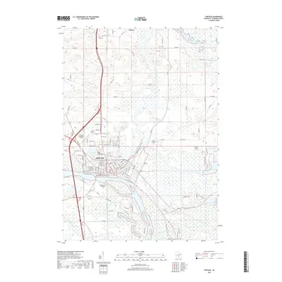
2018 Map of Portage
USGS Topo · Published 2018About this map
Portage occupies a historic land bridge between the Fox River and the Wisconsin River, a location defined by the unique hydrology of south-central Wisconsin. This 2018 survey detail shows how the city's street grid interfaces with a landscape of marshes and lakes, including Silver Lake and Mud Lake. The map reveals a dense concentration of local history markers, particularly seen in the variety of burial grounds such as the Old Fort Winnebago Cem and Saint Mary's Cem.
Find a feature on this map
101 named features on this map. Tap any name to fly to it.
Don’t see what you’re looking for? This feature index may not catch every label — zoom into the map to look around manually.
Map Details
Editions of this 2018 Portage Map
This is the sole edition of this map. No revisions or reprints were ever made.
Other maps of this area

1895 · Baraboo
USGS Topo · 1:62,500

1901 · Poynette
USGS Topo · 1:62,500

1902 · Portage
USGS Topo · 1:62,500

1902 · Briggsville
USGS Topo · 1:62,500

1908 · Baraboo
USGS Topo · 1:62,500

1957 · Madison
USGS Topo · 1:250,000

1958 · Briggsville
USGS Topo · 1:62,500

1959 · Baraboo
USGS Topo · 1:62,500

1960 · Madison
USGS Topo · 1:250,000

1962 · Poynette
USGS Topo · 1:62,500