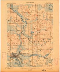
1902 Map of Portage
USGS Topo · Published 1914About this map
The Wisconsin River and Fox River converge at the historic portage point that gives this region its identity, documented here during a period of significant rail development. The city of Portage serves as a critical junction for the Chicago, Milwaukee and St. Paul R. R., with multiple lines radiating out to Pardeeville and beyond. The landscape is a complex network of wetlands and glacial lakes, including Buffalo Lake, Swan Lake, and Ennis Lake, which are interconnected by the Portage Branch and numerous creeks such as Neenah Creek and French Creek. Rural life at the turn of the century is marked by scattered settlements like Endeavor, Moundville, and Marcellon. The topography is punctuated by Observatory Hill in the north, providing a stark contrast to the surrounding marshy lowlands and river valleys that shaped the early transport economy of Marquette and Columbia counties.
Find a feature on this map
45 named features on this map. Tap any name to fly to it.
Don’t see what you’re looking for? This feature index may not catch every label — zoom into the map to look around manually.
Map Details
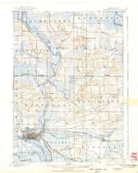
Editions of this 1902 Portage Map
3 editions found
Other maps of this area

1895 · Baraboo
USGS Topo · 1:62,500

1901 · Poynette
USGS Topo · 1:62,500

1902 · Portage
USGS Topo · 1:62,500

1902 · Briggsville
USGS Topo · 1:62,500

1908 · Baraboo
USGS Topo · 1:62,500

1915 · Neshkoro
USGS Topo · 1:48,000

1918 · Neshkoro
USGS Topo · 1:62,500

1955 · Randolph
USGS Topo · 1:62,500

1955 · Columbus
USGS Topo · 1:62,500

1957 · Madison
USGS Topo · 1:250,000