Loading...
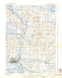
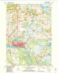
Loading map...1902 Map of Portage
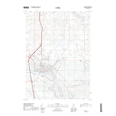
USGS Topo · Published 1944About this map
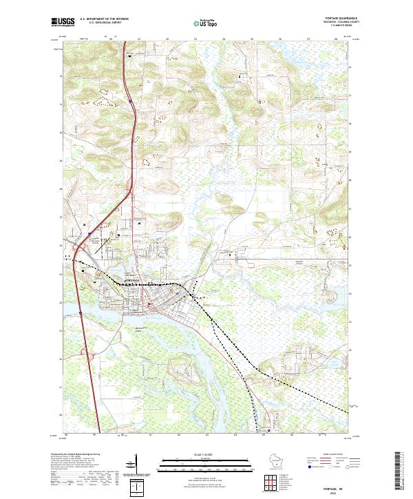
Portage and its surrounding wetlands form the center of this landscape, where the Fox River and the Wisconsin River come into close proximity. The map reveals a complex hydraulic environment defined by broad marshes and numerous water bodies, including Swan Lake, Buffalo Lake, and Silver Lake. The settlement pattern follows the high ground and rail corridors, with Pardeeville and Endeavor serving as local hubs.
Find a feature on this map
42 named features on this map. Tap any name to fly to it.
Don’t see what you’re looking for? This feature index may not catch every label — zoom into the map to look around manually.
Map Details
Date Portrayed1902
Date Published1944
PublisherU.S. Geological Survey
Map TypeTopographic
Scale1:62,500
Physical Dimensions16 x 20.11 inches
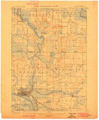
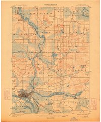
Editions of this 1902 Portage Map
3 editions found
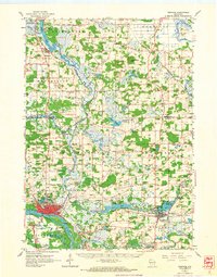
Historical Maps of Portage Through Time
8 maps found
Featured Locations
Source Details
SourceU.S. Geological Survey
CopyrightPublic Domain