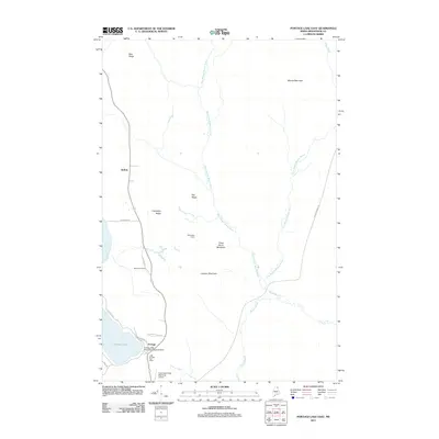
2011 Map of Portage Lake East
USGS Topo · Published 2011About this map
Portage serves as the focal point for this section of Aroostook County, situated on the eastern shores of Portage Lake. This 2011 survey captures the unique transportation infrastructure of the North Maine Woods, where the Portage Lake Municipal Seaplane Base and Allen Saint Peter Memorial Airport provide essential access to the remote timberlands. The landscape is defined by the convergence of several waterways, including Beaver Brook, Burpee Brook, and the Fish River.
Find a feature on this map
28 named features on this map. Tap any name to fly to it.
Don’t see what you’re looking for? This feature index may not catch every label — zoom into the map to look around manually.
Map Details
Editions of this 2011 Portage Lake East Map
This is the sole edition of this map. No revisions or reprints were ever made.
Other maps of this area

1928 · Winterville
USGS Topo · 1:48,000

1929 · Portage
USGS Topo · 1:62,500

1930 · Greenlaw
USGS Topo · 1:48,000

1931 · Ashland
USGS Topo · 1:48,000

1931 · Portage
USGS Topo · 1:62,500

1931 · Winterville
USGS Topo · 1:62,500

1933 · Greenlaw
USGS Topo · 1:62,500

1934 · Ashland
USGS Topo · 1:62,500

1953 · Ashland
USGS Topo · 1:62,500

1953 · Portage
USGS Topo · 1:62,500