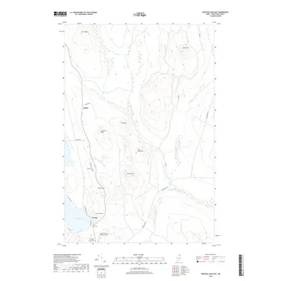
2018 Map of Portage Lake East
USGS Topo · Published 2018About this map
Portage and the smaller settlement of Buffalo anchor this 2018 survey of Aroostook County, where the transition from lakefront life to industrial timberland is clearly marked. The landscape is defined by a series of prominent elevations including Moose Mtn, Three Burnt Mtn, and Lanigan Mtn, with the waters of Portage Lake dominating the southwestern corner. Transportation in this era is a mix of residential streets like Lonesome Ave and long timber-access routes such as Loop Rd and Beaver Brook Rd.
Find a feature on this map
30 named features on this map. Tap any name to fly to it.
Don’t see what you’re looking for? This feature index may not catch every label — zoom into the map to look around manually.
Map Details
Editions of this 2018 Portage Lake East Map
This is the sole edition of this map. No revisions or reprints were ever made.
Other maps of this area

1928 · Winterville
USGS Topo · 1:48,000

1929 · Portage
USGS Topo · 1:62,500

1930 · Greenlaw
USGS Topo · 1:48,000

1931 · Ashland
USGS Topo · 1:48,000

1931 · Portage
USGS Topo · 1:62,500

1931 · Winterville
USGS Topo · 1:62,500

1933 · Greenlaw
USGS Topo · 1:62,500

1934 · Ashland
USGS Topo · 1:62,500

1953 · Ashland
USGS Topo · 1:62,500

1953 · Portage
USGS Topo · 1:62,500