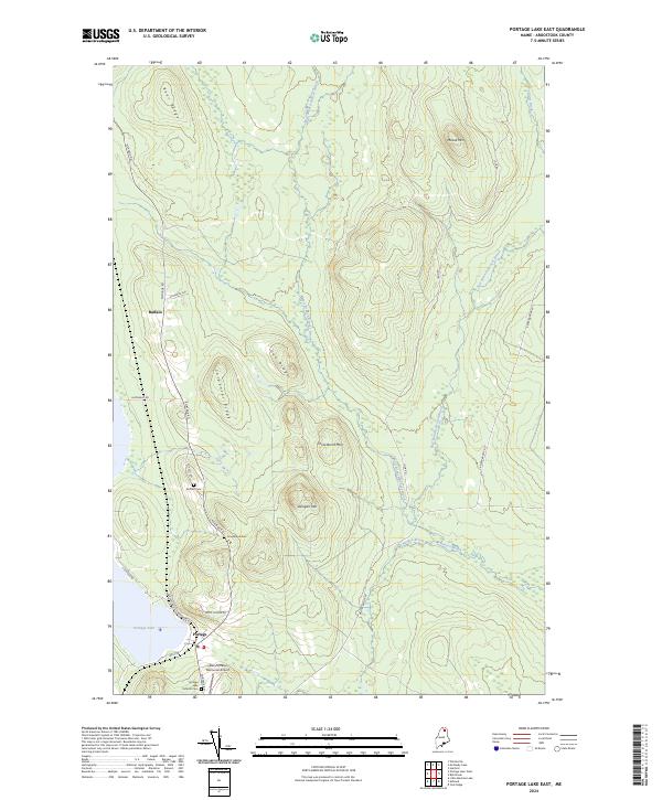
2024 Map of Portage Lake East
USGS Topo · Published 2024About this map
Portage and the smaller settlement of Buffalo serve as the primary hubs in this remote portion of Aroostook County, situated near the shores of Portage Lake. The landscape is defined by its significant relief, featuring numerous ridges and peaks such as Bear Ridge, Carpenter Ridge, and Three Burnt Mtn. A complex network of waterways, including West Branch Beaver Brook and Burpee Brook, drains the timberlands between these heights.
Find a feature on this map
29 named features on this map. Tap any name to fly to it.
Don’t see what you’re looking for? This feature index may not catch every label — zoom into the map to look around manually.
Map Details
Editions of this 2024 Portage Lake East Map
This is the sole edition of this map. No revisions or reprints were ever made.
Other maps of this area

1928 · Winterville
USGS Topo · 1:48,000

1929 · Portage
USGS Topo · 1:62,500

1930 · Greenlaw
USGS Topo · 1:48,000

1931 · Ashland
USGS Topo · 1:48,000

1931 · Portage
USGS Topo · 1:62,500

1931 · Winterville
USGS Topo · 1:62,500

1933 · Greenlaw
USGS Topo · 1:62,500

1934 · Ashland
USGS Topo · 1:62,500

1953 · Ashland
USGS Topo · 1:62,500

1953 · Portage
USGS Topo · 1:62,500