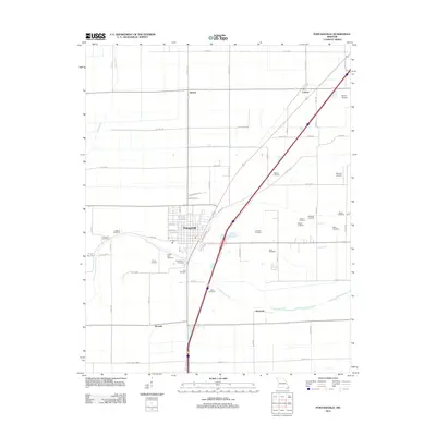
2012 Map of Portageville
USGS Topo · Published 2012About this map
The town of Portageville serves as the central hub of this agricultural region in New Madrid County, positioned near the meandering course of Portage Open Bay. The surrounding landscape is defined by a dense grid of rural roads and drainage infrastructure typical of the Missouri Bootheel, including the channelized Little River to the west. Small settlements like Jaywye, Conran, and De Lisle are scattered throughout the territory, linked by major thoroughfares and local routes such as Co Hwy-344 and Co Rd 312.
Find a feature on this map
69 named features on this map. Tap any name to fly to it.
Don’t see what you’re looking for? This feature index may not catch every label — zoom into the map to look around manually.
Map Details
Editions of this 2012 Portageville Map
This is the sole edition of this map. No revisions or reprints were ever made.
Other maps of this area

1939 · Portageville
USGS Topo · 1:62,500

1939 · New Madrid
USGS Topo · 1:62,500

1940 · Malden
USGS Topo · 1:62,500

1940 · Pascola
USGS Topo · 1:62,500

1951 · New Madrid SE
USGS Topo · 1:24,000

1954 · New Madrid
USGS Topo · 1:62,500

1955 · Pascola
USGS Topo · 1:62,500

1955 · Portageville
USGS Topo · 1:62,500

1956 · Malden
USGS Topo · 1:62,500

1956 · Dyersburg
USGS Topo · 1:250,000