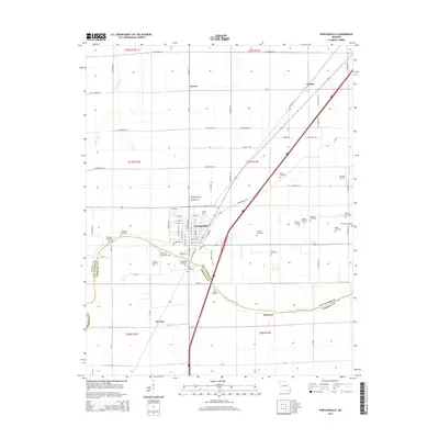
2015 Map of Portageville
USGS Topo · Published 2015About this map
Portageville sits as the central hub of this Missouri Bootheel landscape, positioned where the New Madrid Co and Pemiscot Co borders meet. The area is defined by its deep agricultural grid and the significant drainage provided by Portage Open Bay, which meanders across the southern half of the quadrangle. For genealogists and local historians, this survey is exceptionally dense with burial sites, showing nearly fifteen named cemeteries distributed across the rural township, from Meatte Cemetery in the north to Roher Cemetery further south.
Find a feature on this map
48 named features on this map. Tap any name to fly to it.
Don’t see what you’re looking for? This feature index may not catch every label — zoom into the map to look around manually.
Map Details
Editions of this 2015 Portageville Map
This is the sole edition of this map. No revisions or reprints were ever made.
Other maps of this area

1939 · Portageville
USGS Topo · 1:62,500

1939 · New Madrid
USGS Topo · 1:62,500

1940 · Malden
USGS Topo · 1:62,500

1940 · Pascola
USGS Topo · 1:62,500

1951 · New Madrid SE
USGS Topo · 1:24,000

1954 · New Madrid
USGS Topo · 1:62,500

1955 · Pascola
USGS Topo · 1:62,500

1955 · Portageville
USGS Topo · 1:62,500

1956 · Malden
USGS Topo · 1:62,500

1956 · Dyersburg
USGS Topo · 1:250,000