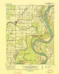
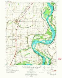
1939 Map of Portageville
USGS Topo · Published 1941About this map
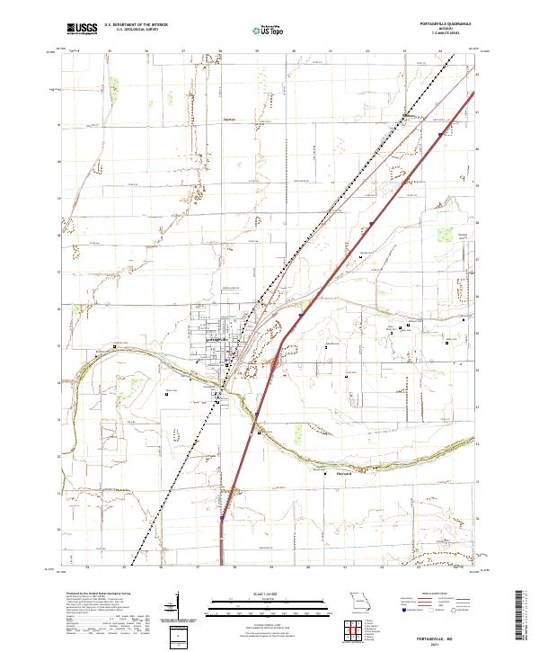
Portageville serves as the inland hub of this 1930s survey, situated along the St Louis-San Francisco RR and U. S. Highway No 61. The landscape is a complex network of drainage ditches and bayous, reflecting the intensive land-reclamation efforts that transformed the Missouri Bootheel into productive farmland. To the east, the Mississippi River creates a dynamic border, defined by dramatic features like Little Cypress Bend and Merriwether Bend, where numerous towheads and bars indicate the river's shifting nature.
Find a feature on this map
58 named features on this map. Tap any name to fly to it.
Don’t see what you’re looking for? This feature index may not catch every label — zoom into the map to look around manually.
Map Details
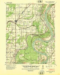
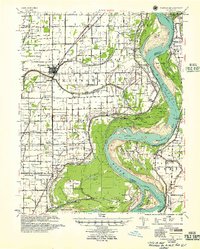
Editions of this 1939 Portageville Map
2 editions found
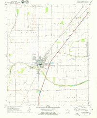
Historical Maps of Tiptonville Through Time
8 maps found
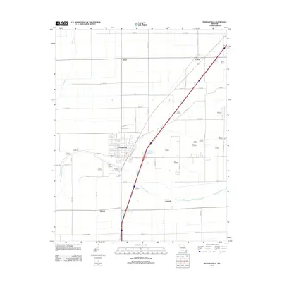
1939 Portageville
New Madrid County, MO
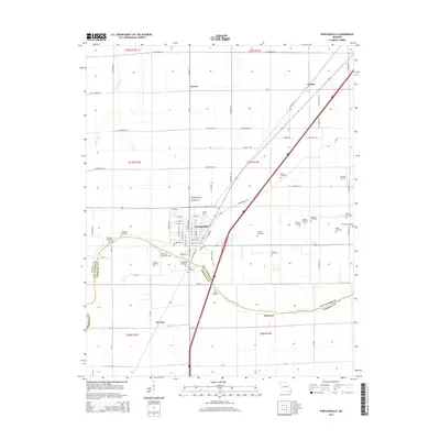
1955 Portageville
New Madrid County, MO
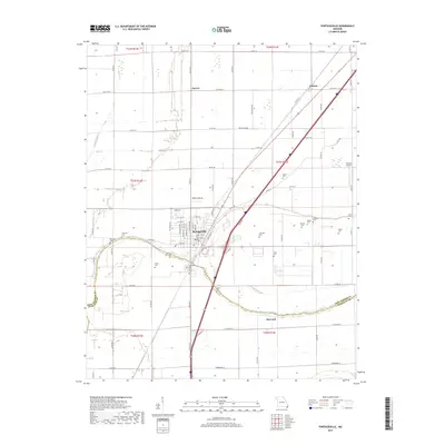
1971 Portageville
New Madrid County, MO
1973 Portageville
New Madrid County, MO
2012 Portageville
New Madrid County, MO
2015 Portageville
New Madrid County, MO
2017 Portageville
New Madrid County, MO
2021 Portageville
New Madrid County, MO