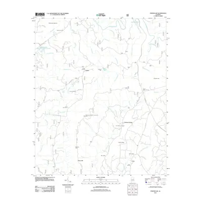
2011 Map of Porter Gap
USGS Topo · Published 2011About this map
Horn Mountain and the surrounding peaks of Germany Mountain dominate this central Alabama landscape, where several distinct communities are connected by a network of forest roads and county routes. The settlement of Smelley is central to the area, formerly served by the Smelley Post Office. Numerous family and community burial grounds, such as Moberley Cemetery, Germany Cemetery, and Harvell Cemetery, are scattered across the terrain, reflecting the deep genealogical roots of the region.
Find a feature on this map
60 named features on this map. Tap any name to fly to it.
Don’t see what you’re looking for? This feature index may not catch every label — zoom into the map to look around manually.
Map Details
Editions of this 2011 Porter Gap Map
This is the sole edition of this map. No revisions or reprints were ever made.
Other maps of this area

1890 · Talladega
USGS Topo · 1:125,000

1891 · Ashland
USGS Topo · 1:125,000

1892 · Talladega
USGS Topo · 1:125,000

1943 · Talladega
USGS Topo · 1:62,500

1944 · Goodwater
USGS Topo · 1:62,500

1946 · Talladega
USGS Topo · 1:62,500

1947 · Goodwater
USGS Topo · 1:62,500

1953 · Birmingham
USGS Topo · 1:250,000

1953 · Atlanta
USGS Topo · 1:250,000

1956 · Birmingham
USGS Topo · 1:250,000