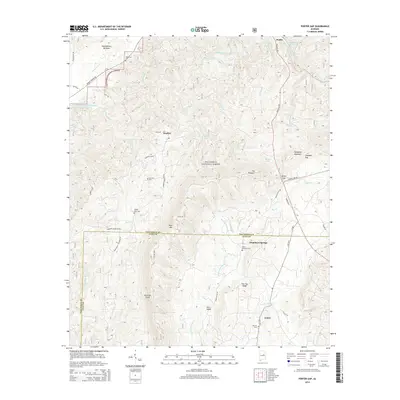
2014 Map of Porter Gap
USGS Topo · Published 2014About this map
The Talladega National Forest dominates this section of the Alabama landscape, straddling the border of Talladega and Clay counties. Settlement is concentrated along the peripheries of the forest, with the community of Waldo situated near the banks of Talladega Creek in the north and Coleta in the southeast. This modern survey illustrates how local geography continues to center on historical mountain gaps and water sources, such as Porter Gap and Chambers Springs.
Find a feature on this map
57 named features on this map. Tap any name to fly to it.
Don’t see what you’re looking for? This feature index may not catch every label — zoom into the map to look around manually.
Map Details
Editions of this 2014 Porter Gap Map
This is the sole edition of this map. No revisions or reprints were ever made.
Other maps of this area

1890 · Talladega
USGS Topo · 1:125,000

1891 · Ashland
USGS Topo · 1:125,000

1892 · Talladega
USGS Topo · 1:125,000

1943 · Talladega
USGS Topo · 1:62,500

1944 · Goodwater
USGS Topo · 1:62,500

1946 · Talladega
USGS Topo · 1:62,500

1947 · Goodwater
USGS Topo · 1:62,500

1953 · Birmingham
USGS Topo · 1:250,000

1953 · Atlanta
USGS Topo · 1:250,000

1956 · Birmingham
USGS Topo · 1:250,000