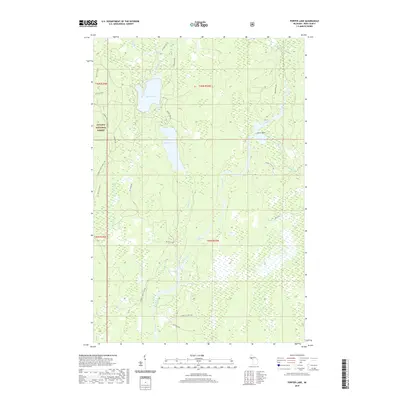
2019 Map of Porter Lake
USGS Topo · Published 2019About this map
Ottawa National Forest surrounds the interconnected waterways of the southern Upper Peninsula, centered on the prominent basin of Porter Lake and its northern neighbor, Cable Lake. The landscape is defined by the winding course of the Net River, which flows southward through the heart of the region, creating landmarks such as Snake Rapids and Chipmunk Falls. This area in t46n r34w and surrounding townships remains primarily a wilderness and timber territory, with a network of forest roads like Federal Forest Road 144 providing access to isolated points. Small tributaries such as Mikes Cr and Porter Cr drain the extensive wetlands, while Hotel Point on the eastern shore of Porter Lake suggests a focal point for recreation or local historical activity in this remote portion of Iron County.
Find a feature on this map
33 named features on this map. Tap any name to fly to it.
Don’t see what you’re looking for? This feature index may not catch every label — zoom into the map to look around manually.
Map Details
Editions of this 2019 Porter Lake Map
This is the sole edition of this map. No revisions or reprints were ever made.
Other maps of this area

1895 · Ned Lake
USGS Topo · 1:62,500

1895 · Perch Lake
USGS Topo · 1:62,500

1898 · Iron River
USGS Topo · 1:62,500

1899 · Crystal Falls
USGS Topo · 1:62,500

1945 · Gibbs City
USGS Topo · 1:24,000

1945 · Sunset Lake
USGS Topo · 1:24,000

1945 · Amasa
USGS Topo · 1:24,000

1946 · Sunset Lake
USGS Topo · 1:31,680

1946 · Gibbs City
USGS Topo · 1:31,680
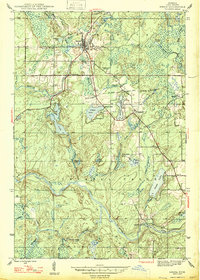
1947 · Amasa
USGS Topo · 1:24,000