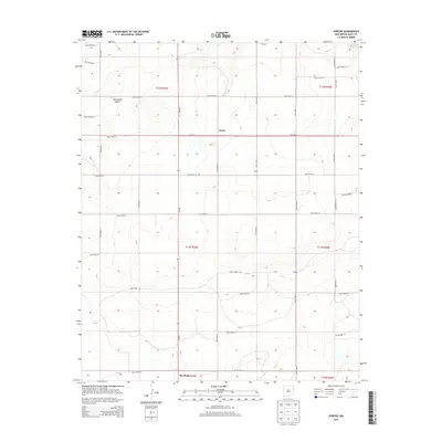
2013 Map of Porter
USGS Topo · Published 2013About this map
Porter and the surrounding high plains of Quay County are defined by a rigid grid of ranch roads and township lines in this 2013 survey. The landscape is marked by the descent into Tuscocoillo Canyon in the northwest, a stark contrast to the level territory that supports the small settlements of Wallin and Gibson. This map provides a clear view of the rural infrastructure at the edge of the Llano Estacado, where NM-392 and NM-469 serve as primary lifelines for dispersed residences and agricultural operations. To the south, the map captures the northern outskirts of San Jon, illustrating the connection between these remote high-plains outposts and the larger regional transport corridors. The detailed survey of township and range boundaries, including t11n r34e and t12n r35e, makes this an essential document for understanding land ownership and property distribution in this part of eastern New Mexico.
Find a feature on this map
34 named features on this map. Tap any name to fly to it.
Don’t see what you’re looking for? This feature index may not catch every label — zoom into the map to look around manually.
Map Details
Editions of this 2013 Porter Map
This is the sole edition of this map. No revisions or reprints were ever made.
Other maps of this area

1954 · Tucumcari
USGS Topo · 1:250,000

1958 · Tucumcari
USGS Topo · 1:250,000

1962 · Logan
USGS Topo · 1:62,500

1968 · Porter
USGS Topo · 1:24,000

1968 · Blue Hole
USGS Topo · 1:24,000

1968 · Riley Camp
USGS Topo · 1:24,000

1968 · San Jon
USGS Topo · 1:24,000

1968 · Bard
USGS Topo · 1:24,000

1968 · San Jon NW
USGS Topo · 1:24,000

1968 · Bedford Hill
USGS Topo · 1:24,000