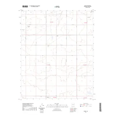
2023 Map of Porter
USGS Topo · Published 2023About this map
The small settlement of Porter lies at the heart of this High Plains landscape in Quay County, where the terrain is defined by the sharp descent into Tuscocollo Canyon. This area reflects the grid-based rural organization typical of eastern New Mexico, with a network of local routes such as Quay Road T and Quay Road 65 providing the primary infrastructure between ranching and agricultural lands. To the south, the map reaches the northern edge of San Jon, a community positioned along the transition between the upper plateau and the rugged breaks of the Caprock.
Find a feature on this map
23 named features on this map. Tap any name to fly to it.
Don’t see what you’re looking for? This feature index may not catch every label — zoom into the map to look around manually.
Map Details
Editions of this 2023 Porter Map
This is the sole edition of this map. No revisions or reprints were ever made.
Other maps of this area

1954 · Tucumcari
USGS Topo · 1:250,000

1958 · Tucumcari
USGS Topo · 1:250,000

1962 · Logan
USGS Topo · 1:62,500

1968 · Porter
USGS Topo · 1:24,000

1968 · Blue Hole
USGS Topo · 1:24,000

1968 · Riley Camp
USGS Topo · 1:24,000

1968 · San Jon
USGS Topo · 1:24,000

1968 · Bard
USGS Topo · 1:24,000

1968 · San Jon NW
USGS Topo · 1:24,000

1968 · Bedford Hill
USGS Topo · 1:24,000