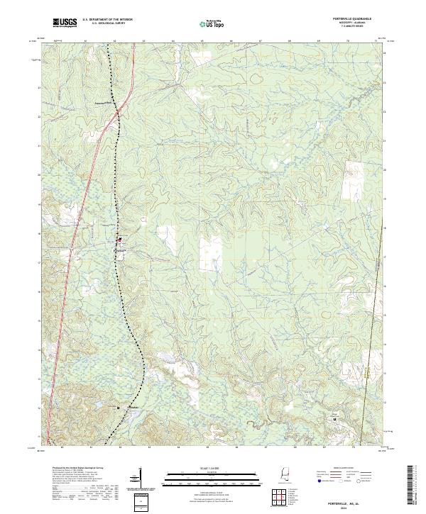
2024 Map of Porterville
USGS Topo · Published 2024About this map
Porterville sits near the heart of this East Mississippi landscape, where the Sucarnoochee River and its many tributaries, including Pawticfaw Creek and Quilby Creek, carve a detailed network of drainage through Kemper County. The map documents a rural region defined by timber management and family history, with several logging roads like Weyerhaeuser Rd and Weyer Houser Rd cutting through the forest.
Find a feature on this map
43 named features on this map. Tap any name to fly to it.
Don’t see what you’re looking for? This feature index may not catch every label — zoom into the map to look around manually.
Map Details
Editions of this 2024 Porterville Map
This is the sole edition of this map. No revisions or reprints were ever made.
Other maps of this area

1953 · Meridian
USGS Topo · 1:250,000

1957 · Meridian
USGS Topo · 1:250,000

1962 · Lauderdale
USGS Topo · 1:24,000

1962 · Oak Grove
USGS Topo · 1:24,000

1963 · Townsend
USGS Topo · 1:24,000

1965 · Meridian
USGS Topo · 1:250,000

1973 · Scooba
USGS Topo · 1:24,000
1973 · Geiger
USGS Topo · 1:24,000

1974 · Boyd
USGS Topo · 1:24,000
1974 · Tamola
USGS Topo · 1:24,000