Loading...
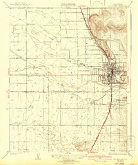
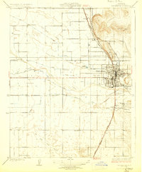
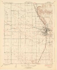
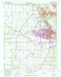
Loading map...1929 Map of Porterville
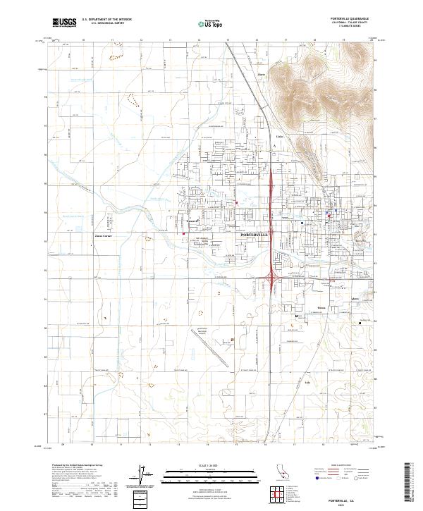
USGS Topo · Published 1942About this map
The agricultural landscape of the southern San Joaquin Valley is defined by a sophisticated network of irrigation channels like the Hubbs Rhods and Fine Ditch and Stockton Ditch. Centered on the growing hub of Porterville, this survey shows the critical intersection of water and rail that fueled the regional economy between the world wars. The town is flanked by a significant rail corridor where the Southern Pacific and Atchison Topeka and Santa Fe lines run parallel, serving the valley's transit needs.
Find a feature on this map
31 named features on this map. Tap any name to fly to it.
Don’t see what you’re looking for? This feature index may not catch every label — zoom into the map to look around manually.
Map Details
Date Portrayed1929
Date Published1942
PublisherU.S. Geological Survey
Map TypeTopographic
Scale1:31,680
Physical Dimensions16.5 x 19.8 inches
Editions of this 1929 Porterville Map
3 editions found
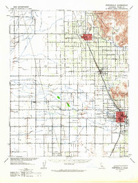
Historical Maps of Porterville Through Time
7 maps found
Featured Locations
Source Details
SourceU.S. Geological Survey
CopyrightPublic Domain