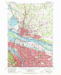
1961 Map of Portland
USGS Topo · Published 1970About this map
Vancouver and Portland dominate this early 1960s landscape, illustrating the intense mid-century development along the Columbia River and Willamette River. This survey captures the region just years after the catastrophic 1948 flood, noting the Vanport City (Site) where a major wartime housing project once stood. The industrial and transportation nexus is evident through the massive expansion of the Portland International Airport and the complex rail network of the Union Pacific and Southern Pacific railroads.
Find a feature on this map
156 named features on this map. Tap any name to fly to it.
Don’t see what you’re looking for? This feature index may not catch every label — zoom into the map to look around manually.
Map Details
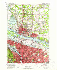
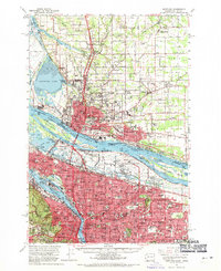
Editions of this 1961 Portland Map
3 editions found
Other maps of this area

1897 · Portland
USGS Topo · 1:62,500

1905 · Portland
USGS Topo · 1:62,500

1911 · Boring
USGS Topo · 1:48,000

1914 · Boring
USGS Topo · 1:62,500

1914 · Oregon City
USGS Topo · 1:62,500

1915 · Hillsboro
USGS Topo · 1:62,500

1916 · Tualatin
USGS Topo · 1:62,500

1916 · Estacada
USGS Topo · 1:125,000

1918 · Hillsboro
USGS Topo · 1:62,500

1918 · Troutdale
USGS Topo · 1:62,500