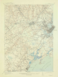
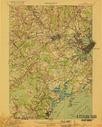
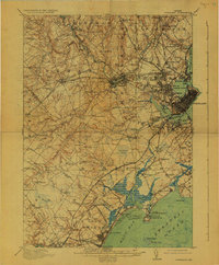
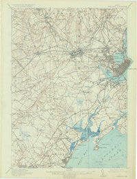
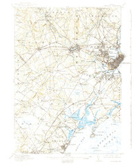
1916 Map of Portland
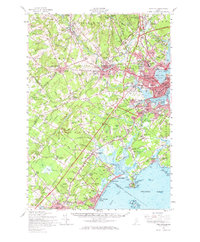
USGS Topo · Published 1943About this map
Cumberland Mills and the industrial corridors of Westbrook anchor this landscape during a period of significant rail expansion. Multiple rail lines, including the Boston and Maine RR and the Maine Central RR, converge at Deering Junc, illustrating the connectivity of the early 20th-century Maine coast. The map meticulously documents the transition from the dense urban developments of Portland and South Portland to the rural school-and-church network of the interior.
Find a feature on this map
159 named features on this map. Tap any name to fly to it.
Don’t see what you’re looking for? This feature index may not catch every label — zoom into the map to look around manually.
Map Details
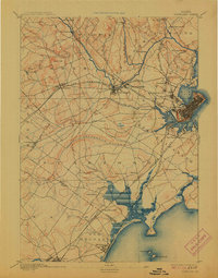
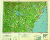
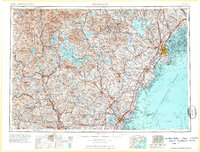
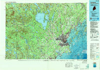
Editions of this 1916 Portland Map
7 editions found


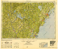
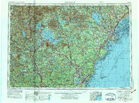
Historical Maps of Portland Through Time
11 maps found

1891 Portland
Cumberland County, ME
1893 Portland
Cumberland County, ME

1914 Portland
Cumberland County, ME
1916 Portland
Cumberland County, ME

1941 Portland
Cumberland County, ME
1949 Portland
Cumberland County, ME
1956 Portland
Cumberland County, ME
1957 Portland
Cumberland County, ME
1959 Portland
Cumberland County, ME
1963 Portland
Cumberland County, ME
1985 Portland
Cumberland County, ME