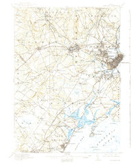
1916 Map of Portland
USGS Topo · Published 1939About this map
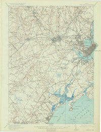
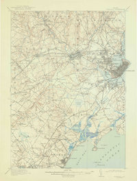
The Presumpscot River and its industrial falls anchor this coastal landscape, where the growing city of Portland and neighboring Westbrook are interconnected by an extensive network of electric railways and steam lines. The presence of the State Reform School and several institutional properties like the Town Farm and City Farm highlight the civic infrastructure of the early twentieth century. Moving away from the urban core at Woodfords and Oakdale, the terrain transitions into a mosaic of small rural school districts, including the Duck Pond School and Bodge School, which served the outlying agricultural communities of Windham and Gorham.
Find a feature on this map
189 named features on this map. Tap any name to fly to it.
Don’t see what you’re looking for? This feature index may not catch every label — zoom into the map to look around manually.
Map Details
Editions of this 1916 Portland Map
7 editions found

Other maps of this area

1891 · Portland
USGS Topo · 1:62,500

1891 · Biddeford
USGS Topo · 1:62,500

1891 · Kennebunk
USGS Topo · 1:62,500

1891 · Buxton
USGS Topo · 1:62,500

1892 · Freeport
USGS Topo · 1:62,500

1892 · Buxton
USGS Topo · 1:62,500

1893 · Kennebunk
USGS Topo · 1:62,500

1893 · Biddeford
USGS Topo · 1:62,500

1893 · Portland
USGS Topo · 1:62,500

1893 · Casco Bay
USGS Topo · 1:62,500