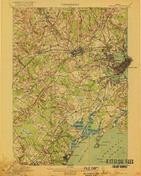
1916 Map of Portland
USGS Topo · Published 1916About this map
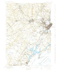
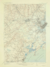
The Presumpscot River and its industrial corridor dominate this coastal landscape, where the bustling port of Portland transitions into a dense network of suburban villages and rural townships. Inland, the power of Gambo Falls and Mallison Falls drives the economy, while the sprawling Boston and Maine Railroad lines facilitate the movement of goods through Westbrook and Gorham. The coastline is marked by the distinct geographies of Back Cove and the jagged reaches of Prouts Neck.
Find a feature on this map
153 named features on this map. Tap any name to fly to it.
Don’t see what you’re looking for? This feature index may not catch every label — zoom into the map to look around manually.
Map Details
Editions of this 1916 Portland Map
7 editions found

Other maps of this area

1891 · Portland
USGS Topo · 1:62,500

1891 · Biddeford
USGS Topo · 1:62,500

1891 · Kennebunk
USGS Topo · 1:62,500

1891 · Buxton
USGS Topo · 1:62,500

1892 · Freeport
USGS Topo · 1:62,500

1892 · Buxton
USGS Topo · 1:62,500

1893 · Kennebunk
USGS Topo · 1:62,500

1893 · Biddeford
USGS Topo · 1:62,500

1893 · Portland
USGS Topo · 1:62,500

1893 · Casco Bay
USGS Topo · 1:62,500