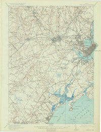
1916 Map of Portland
USGS Topo · Published 1934About this map
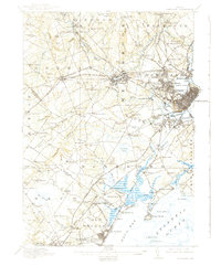
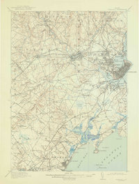
Portland and its surrounding coastal townships are defined by a dense network of early 20th-century electric and steam rail lines, including the Maine Central Railroad and the Portland and Windham Electric. The landscape shows the transition from the bustling waterfront at Back Cove and the Fore River to the inland agricultural and industrial hubs of Westbrook and Gorham. Local history is deeply etched into the topography through sites like the State Reform School and the City Farm, alongside numerous family-named landmarks such as Kennedy Hill and Mosher Corner.
Find a feature on this map
166 named features on this map. Tap any name to fly to it.
Don’t see what you’re looking for? This feature index may not catch every label — zoom into the map to look around manually.
Map Details
Editions of this 1916 Portland Map
7 editions found

Other maps of this area

1891 · Portland
USGS Topo · 1:62,500

1891 · Biddeford
USGS Topo · 1:62,500

1891 · Kennebunk
USGS Topo · 1:62,500

1891 · Buxton
USGS Topo · 1:62,500

1892 · Freeport
USGS Topo · 1:62,500

1892 · Buxton
USGS Topo · 1:62,500

1893 · Kennebunk
USGS Topo · 1:62,500

1893 · Biddeford
USGS Topo · 1:62,500

1893 · Portland
USGS Topo · 1:62,500

1893 · Casco Bay
USGS Topo · 1:62,500