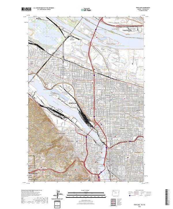
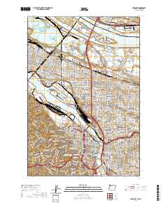
2024 Map of Portland
USGS Topo · Published 2024About this map
The Willamette River and Columbia River converge in this urban landscape, defining the industrial and civic heart of the region. On the northern bank, the Fort Vancouver National Historic Site and Pearson Field sit just across the state line from North Portland's complex waterways, including Hayden Bay and the Alternate Barge Channel. The map documents a dense network of neighborhoods from Saint Johns to Irvington, showing the varied terrain of Waud Bluff and the Tualatin Mountains overlooking the city center. This edition preserves the location of many local landmarks and educational institutions, such as the University of Portland and the Oregon College of Oriental Medicine. Researchers can also identify long-established resting places like Historic Columbian Cem and Jones Cem, providing valuable data for genealogical study in the Multnomah County area.
Find a feature on this map
354 named features on this map. Tap any name to fly to it.
Don’t see what you’re looking for? This feature index may not catch every label — zoom into the map to look around manually.
Map Details
Editions of this 2024 Portland Map
This is the sole edition of this map. No revisions or reprints were ever made.
Historical Maps of Clark County Through Time
13 maps found
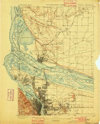
1897 Portland
Multnomah County, OR
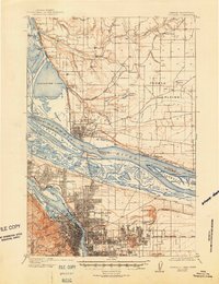
1905 Portland
Multnomah County, OR
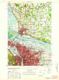
1940 Portland
Multnomah County, OR
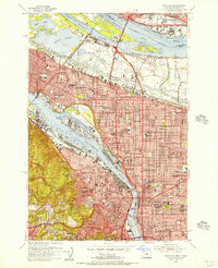
1954 Portland
Multnomah County, OR
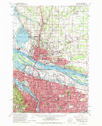
1961 Portland
Multnomah County, OR
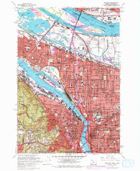
1961 Portland
Multnomah County, OR
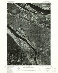
1975 Portland
Multnomah County, OR
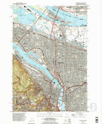
1990 Portland
Multnomah County, OR
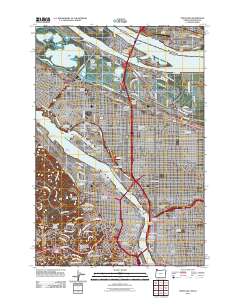
2011 Portland
Multnomah County, OR
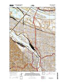
2014 Portland
Multnomah County, OR
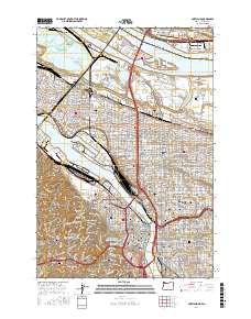
2017 Portland
Multnomah County, OR
2020 Portland
Multnomah County, OR
2024 Portland
Multnomah County, OR