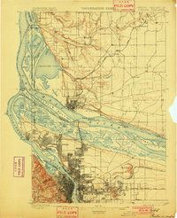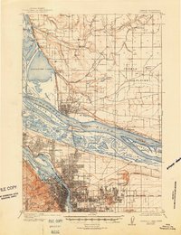
1905 Map of Portland
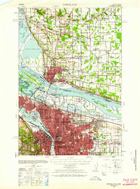
USGS Topo · Published 1948About this map
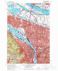
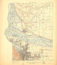
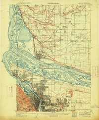
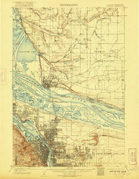
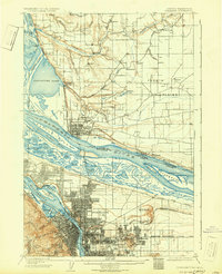
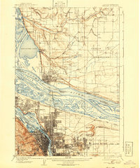
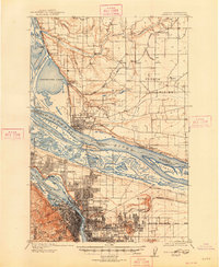
The confluence of the Willamette River and the Columbia River serves as the focal point for this survey of the region around the turn of the century. The map highlights the early urban development of Portland and Vancouver, Washington, as well as several outlying settlements and railroad nodes. Significant transportation infrastructure is visible, including the Northern Pacific RR and the Portland and Vancouver Branch, alongside water-based transit like Mundays Ferry. The landscape is characterized by a network of sloughs and islands, such as Government Island and Hayden Island, reflecting the river-dependent economy of the era. On the Oregon side, topographic detail reveals the elevations of Portland Heights and Mt Tabor, while the Washington side features the expansive Fourth Plains. Notable local landmarks of the period include the Vancouver Barracks and an Asylum located just east of the Vancouver city center.
Find a feature on this map
83 named features on this map. Tap any name to fly to it.
Don’t see what you’re looking for? This feature index may not catch every label — zoom into the map to look around manually.
Map Details
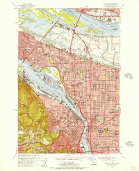
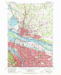
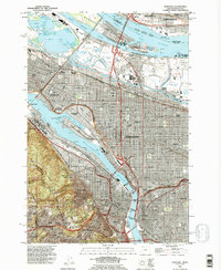
Editions of this 1905 Portland Map
8 editions found

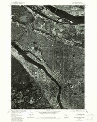
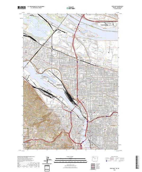
Historical Maps of Portland Through Time
9 maps found