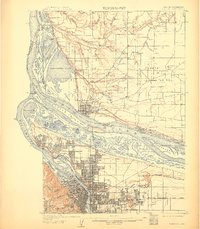
1905 Map of Portland
USGS Topo · Published 1911About this map
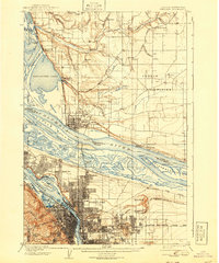
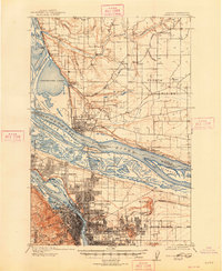
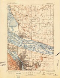
The Columbia River and Willamette River dominate this early 20th-century landscape, framing the growth of Portland and Vancouver before modern levee and harbor developments. The riverbanks are dotted with landings and industrial markers like Mundays Ferry and numerous Sawmills, while Hayden Island and Government Island sit amidst a complex network of sloughs and lakes, including Vancouver Lake and the now-filled Guild Lake.
Find a feature on this map
83 named features on this map. Tap any name to fly to it.
Don’t see what you’re looking for? This feature index may not catch every label — zoom into the map to look around manually.
Map Details
Editions of this 1905 Portland Map
8 editions found
Other maps of this area

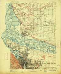
1897 · Portland
USGS Topo · 1:62,500

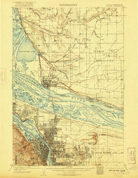
1905 · Portland
USGS Topo · 1:62,500

1911 · Boring
USGS Topo · 1:48,000

1914 · Boring
USGS Topo · 1:62,500

1914 · Oregon City
USGS Topo · 1:62,500

1915 · Hillsboro
USGS Topo · 1:62,500

1916 · Tualatin
USGS Topo · 1:62,500

1916 · Estacada
USGS Topo · 1:125,000

1918 · Hillsboro
USGS Topo · 1:62,500

1918 · Troutdale
USGS Topo · 1:62,500