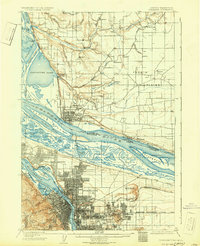
1905 Map of Portland
USGS Topo · Published 1931About this map
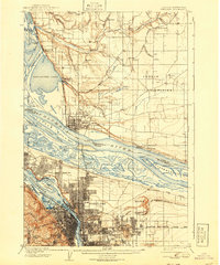
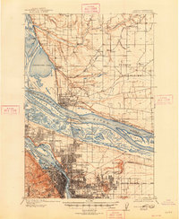
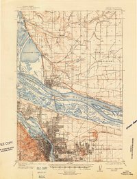
Portland and Vancouver anchor this turn-of-the-century riverfront landscape, captured before the extensive industrial drainage and urban expansion of the later twentieth century. The map reveals the intricate hydrology of the Columbia River and Willamette River confluence, including features like Guild Lake and Swan Island, which have since been radically altered. On the Washington side, the Vancouver Barracks stands as a prominent military installation, while the Yacolt (Gravel Pit Spur) and various Sawmills indicate the region's early reliance on timber and extractive industries. North of the city, the landscape of Fourth Plains is dotted with small settlements like Brush Prairie and Homan. Institutional presence is marked by Columbia University and an Asylum, while the Port of Portland Airport appears in its early location on Swan Island, highlighting the city's emerging role in aviation.
Find a feature on this map
81 named features on this map. Tap any name to fly to it.
Don’t see what you’re looking for? This feature index may not catch every label — zoom into the map to look around manually.
Map Details
Editions of this 1905 Portland Map
8 editions found
Other maps of this area

1897 · Portland
USGS Topo · 1:62,500

1905 · Portland
USGS Topo · 1:62,500

1911 · Boring
USGS Topo · 1:48,000

1914 · Boring
USGS Topo · 1:62,500

1914 · Oregon City
USGS Topo · 1:62,500

1915 · Hillsboro
USGS Topo · 1:62,500

1916 · Tualatin
USGS Topo · 1:62,500

1916 · Estacada
USGS Topo · 1:125,000

1918 · Hillsboro
USGS Topo · 1:62,500

1918 · Troutdale
USGS Topo · 1:62,500