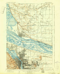
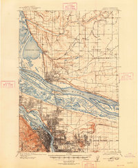
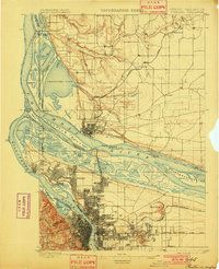
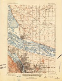
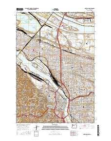
1905 Map of Portland
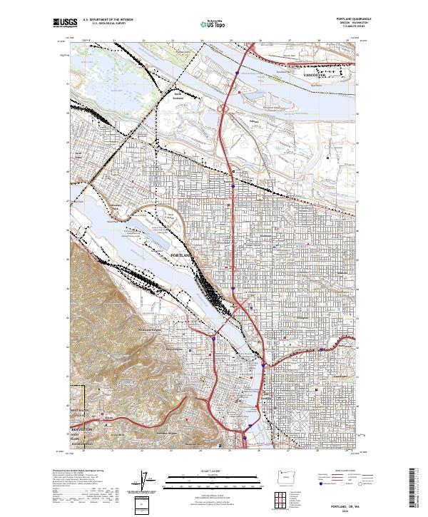
USGS Topo · Published 1940About this map
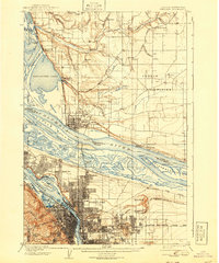
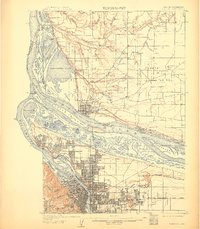
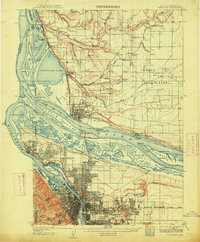
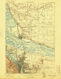
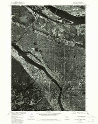
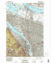
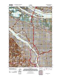
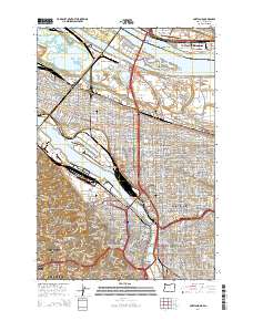
Portland and Vancouver occupy the heart of this survey, which documents the industrial and urban expansion along the Willamette River and Columbia River before the heavy modifications of the mid-20th century. Notable landmarks include the Vancouver Barracks and the sprawling Asylum grounds, while the presence of Columbia University and University Park points to the early educational development of the peninsula. The river landscape is characterized by numerous islands and sloughs, many of which were still in a natural state or being adapted for early aviation at the Port of Portland Airport on Swan Island.
Find a feature on this map
91 named features on this map. Tap any name to fly to it.
Don’t see what you’re looking for? This feature index may not catch every label — zoom into the map to look around manually.
Map Details
Editions of this 1905 Portland Map
8 editions found

Historical Maps of Portland Through Time
13 maps found
1897 Portland
Multnomah County, OR
1905 Portland
Multnomah County, OR
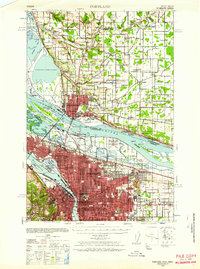
1940 Portland
Multnomah County, OR
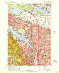
1954 Portland
Multnomah County, OR
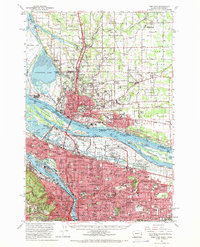
1961 Portland
Multnomah County, OR
1961 Portland
Multnomah County, OR
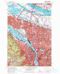
1975 Portland
Multnomah County, OR
1990 Portland
Multnomah County, OR
2011 Portland
Multnomah County, OR
2014 Portland
Multnomah County, OR
2017 Portland
Multnomah County, OR
2020 Portland
Multnomah County, OR
2024 Portland
Multnomah County, OR