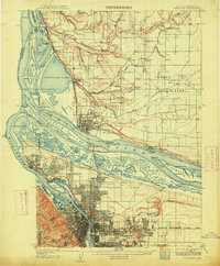
1905 Map of Portland
USGS Topo · Published 1914About this map
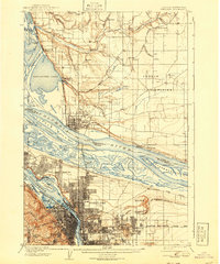
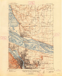
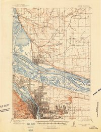
The Columbia River and Willamette River define this 1905 landscape at their historic confluence, showing the industrial and residential growth of the region before significant land reclamation. Notable is the presence of Guild Lake and Swan Island in their early configurations, alongside the wetlands of Mocks Bottom and the Columbia Slough. The transit network is highly developed, featuring the Northern Pacific RR and the Portland and Vancouver Branch, which connected the burgeoning city centers.
Find a feature on this map
94 named features on this map. Tap any name to fly to it.
Don’t see what you’re looking for? This feature index may not catch every label — zoom into the map to look around manually.
Map Details
Editions of this 1905 Portland Map
8 editions found
Other maps of this area

1897 · Portland
USGS Topo · 1:62,500

1905 · Portland
USGS Topo · 1:62,500

1911 · Boring
USGS Topo · 1:48,000

1914 · Boring
USGS Topo · 1:62,500

1914 · Oregon City
USGS Topo · 1:62,500

1915 · Hillsboro
USGS Topo · 1:62,500

1916 · Tualatin
USGS Topo · 1:62,500

1916 · Estacada
USGS Topo · 1:125,000

1918 · Hillsboro
USGS Topo · 1:62,500

1918 · Troutdale
USGS Topo · 1:62,500