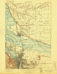
1905 Map of Portland
USGS Topo · Published 1921About this map
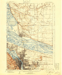
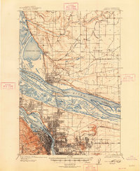
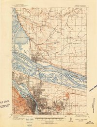
The Willamette River and Columbia River converge in a landscape defined by seasonal sloughs and early industrial hubs at the dawn of the twentieth century. The grid of Portland and the military presence at Vancouver Barracks anchor the region, while the surrounding Fourth Plains are dotted with numerous sawmills and emerging settlements like Montavilla and Woodlawn. This era captures the riverfront before modern channelization, showing the complex archipelago of Swan Island, Hayden Island, and Government Island in their more natural configurations.
Find a feature on this map
87 named features on this map. Tap any name to fly to it.
Don’t see what you’re looking for? This feature index may not catch every label — zoom into the map to look around manually.
Map Details
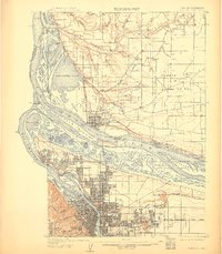
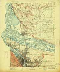
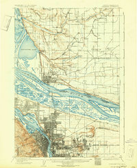
Editions of this 1905 Portland Map
8 editions found
Other maps of this area

1897 · Portland
USGS Topo · 1:62,500

1905 · Portland
USGS Topo · 1:62,500

1911 · Boring
USGS Topo · 1:48,000

1914 · Boring
USGS Topo · 1:62,500

1914 · Oregon City
USGS Topo · 1:62,500

1915 · Hillsboro
USGS Topo · 1:62,500

1916 · Tualatin
USGS Topo · 1:62,500

1916 · Estacada
USGS Topo · 1:125,000

1918 · Hillsboro
USGS Topo · 1:62,500

1918 · Troutdale
USGS Topo · 1:62,500