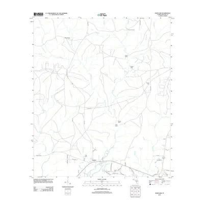
2012 Map of Portland
USGS Topo · Published 2012About this map
The settlement of Portland sits at the head of West Bayou in this coastal Florida survey, serving as a hub for the surrounding creeks and headlands. The terrain is defined by a dense network of waterways, including Alaqua Cr and its tributaries like Little Alaqua Cr and Counterfeit Mill Cr, which drain several distinctive elevation points such as Brushy Head, Steep Head, and Flat Head. To the north, the small community of New Home is surrounded by timbered drainages and the Beaver Pond. Transportation is evidenced by local landmarks like Pine Allen Bridge and Hobbs Bridge, while the presence of Hatcher Cem near Co HWY-83a provides a point of interest for those tracing local family lineages. The landscape's proximity to military activity is noted by the inclusion of Eglin Territory Site C-6 Rd, reflecting the area's modern strategic significance.
Find a feature on this map
63 named features on this map. Tap any name to fly to it.
Don’t see what you’re looking for? This feature index may not catch every label — zoom into the map to look around manually.
Map Details
Editions of this 2012 Portland Map
This is the sole edition of this map. No revisions or reprints were ever made.
Other maps of this area

1934 · Niceville
USGS Topo · 1:48,000

1935 · Villa Tasso
USGS Topo · 1:48,000

1935 · De Funiak Springs
USGS Topo · 1:48,000

1936 · Niceville
USGS Topo · 1:62,500

1936 · Point Washington
USGS Topo · 1:48,000

1938 · Villa Tasso
USGS Topo · 1:62,500

1938 · De Funiak Springs
USGS Topo · 1:62,500

1939 · Point Washington
USGS Topo · 1:62,500

1956 · Niceville
USGS Topo · 1:62,500

1956 · Villa Tasso
USGS Topo · 1:62,500