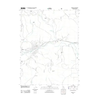
2012 Map of Portola
USGS Topo · Published 2012About this map
Portola and its surrounding mountain communities anchor this 2012 survey, situated along the winding course of the Middle Fork Feather River. The landscape transitions from the high peaks of Beckwourth Peak in the south to the significant alpine waters of Lake Davis at the northern edge. Local history is traced through settlements like Delleker, Beckwourth, and the Ramelli Ranch, alongside family-named landmarks and historical sites such as the Whispering Pines Cem near Rocky Point.
Find a feature on this map
52 named features on this map. Tap any name to fly to it.
Don’t see what you’re looking for? This feature index may not catch every label — zoom into the map to look around manually.
Map Details
Editions of this 2012 Portola Map
This is the sole edition of this map. No revisions or reprints were ever made.
Other maps of this area

1890 · Sierraville
USGS Topo · 1:125,000

1891 · Downieville
USGS Topo · 1:125,000

1892 · Sierraville
USGS Topo · 1:125,000

1893 · Downieville
USGS Topo · 1:125,000

1894 · Sierraville
USGS Topo · 1:125,000

1895 · Downieville
USGS Topo · 1:125,000

1896 · Downieville
USGS Topo · 1:125,000

1897 · Downieville
USGS Topo · 1:125,000

1937 · Blairsden
USGS Topo · 1:48,000

1943 · Blairsden
USGS Topo · 1:62,500