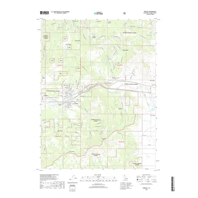
2018 Map of Portola
USGS Topo · Published 2018About this map
Portola serves as the focal point of this mountainous region, situated along the Middle Fork Feather River where the Western Pacific railroad tracks parallel the water. The landscape is defined by the high peaks and timbered slopes of the Plumas National Forest, including the prominent Beckwourth Peak. To the north, Lake Davis and its surrounding meadows like Burnham Meadow contrast with the broad expanse of Sierra Valley to the east. The map captures small communities and historical sites such as Beckwourth, Delleker, and Iron Horse, alongside local landmarks including Shady Grove Cem and Whispering Pines Cem. The road network, including the Beckwourth Genesee Rd, winds through valleys like Humbug Valley and over passes like Carman Saddle, reflecting the intersection of logging, rail transit, and mountain settlement.
Find a feature on this map
89 named features on this map. Tap any name to fly to it.
Don’t see what you’re looking for? This feature index may not catch every label — zoom into the map to look around manually.
Map Details
Editions of this 2018 Portola Map
This is the sole edition of this map. No revisions or reprints were ever made.
Other maps of this area

1890 · Sierraville
USGS Topo · 1:125,000

1891 · Downieville
USGS Topo · 1:125,000

1892 · Sierraville
USGS Topo · 1:125,000

1893 · Downieville
USGS Topo · 1:125,000

1894 · Sierraville
USGS Topo · 1:125,000

1895 · Downieville
USGS Topo · 1:125,000

1896 · Downieville
USGS Topo · 1:125,000

1897 · Downieville
USGS Topo · 1:125,000

1937 · Blairsden
USGS Topo · 1:48,000

1943 · Blairsden
USGS Topo · 1:62,500