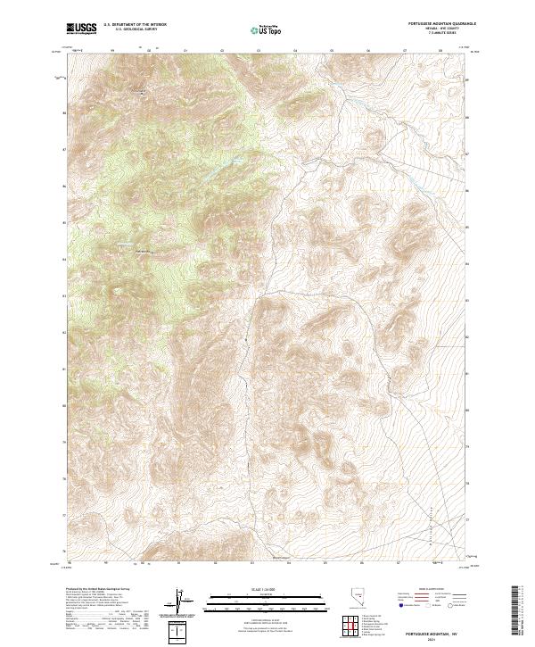
2021 Map of Portuguese Mountain
USGS Topo · Published 2021About this map
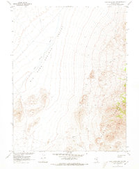
Pancake Range peaks dominate this high-altitude landscape in central Nevada, where steep ridges give way to the broad alluvial floor of Railroad Valley. The prominence of Portuguese Mtn stands as a primary landmark in a terrain defined by complex drainage patterns. Seasonal water sources are critical features of this arid environment, marked by Ike Spring, Little Ike Spring, and Martin Spring.
Find a feature on this map
15 named features on this map. Tap any name to fly to it.
Don’t see what you’re looking for? This feature index may not catch every label — zoom into the map to look around manually.
Map Details
Editions of this 2021 Portuguese Mountain Map
This is the sole edition of this map. No revisions or reprints were ever made.
Other maps of this area

1956 · Lund
USGS Topo · 1:250,000

1960 · Lund
USGS Topo · 1:250,000

1964 · Blue Eagle Springs
USGS Topo · 1:62,500

1964 · Duckwater
USGS Topo · 1:62,500

1968 · Portuguese Mtn
USGS Topo · 1:62,500
1968 · Brown Summit SW
USGS Topo · 1:24,000
1968 · Sand Spring
USGS Topo · 1:24,000
1968 · Black Rock Summit
USGS Topo · 1:24,000

1968 · Portuguese Mtn
USGS Topo · 1:24,000
1968 · Portuguese Mtn NW
USGS Topo · 1:24,000