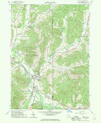
1961 Map of Portville
USGS Topo · Published 1970About this map
Portville stands at the confluence of the Allegheny River and Oswayo River, serving as a central hub for the transport networks of Cattaraugus and Allegany Counties. The landscape is defined by the Genesee Valley and the prominent ridge of Typnahda Mountain, which separates the fertile river bottoms from the high timber and oil lands to the north and east. Industrial activity is evident through the numerous Oil Wells peppered across the eastern hills and several Gravel Pits concentrated near the riverbanks. The transit history of the region is etched into the terrain, showing the active Pennsylvania Railroad alongside remnants of an Old RR Grade. Smaller settlements like Westons Mills and Ceres anchor the periphery, while local history is preserved at the Portville Cem and Chestnut Hill Cem. The naming of Toll Gate Corner suggests a legacy of early road commerce through this river-valley corridor.
Find a feature on this map
53 named features on this map. Tap any name to fly to it.
Don’t see what you’re looking for? This feature index may not catch every label — zoom into the map to look around manually.
Map Details
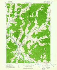
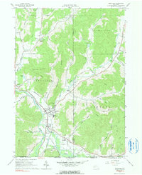
Editions of this 1961 Portville Map
Other maps of this area

1898 · Olean
USGS Topo · 1:62,500

1925 · Belmont
USGS Topo · 1:62,500

1933 · Smethport
USGS Topo · 1:62,500

1934 · Coudersport
USGS Topo · 1:48,000

1937 · Smethport
USGS Topo · 1:62,500

1938 · Coudersport
USGS Topo · 1:62,500

1938 · Olean
USGS Topo · 1:62,500

1939 · Belmont
USGS Topo · 1:62,500

1943 · Olean
USGS Topo · 1:62,500

1957 · Warren
USGS Topo · 1:250,000