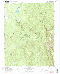
1964 Map of Posy Lake
USGS Topo · Published 1979About this map
Dixie National Forest defines the character of this high-elevation landscape in the mid-1960s, where water management and seasonal livestock grazing dictated the land's use. An aqueduct and several springs, including Posy Spring and Deep Creek Spring 1, supported the remote infrastructure of the region. The map documents the localized human presence through the Cowpuncher Guard Station and a small Powerplant near John Allen Bottom, indicating how resource management and utility needs were met in this isolated pocket of Garfield County.
Find a feature on this map
38 named features on this map. Tap any name to fly to it.
Don’t see what you’re looking for? This feature index may not catch every label — zoom into the map to look around manually.
Map Details
Editions of this 1964 Posy Lake Map
2 editions found
Other maps of this area

1885 · Fish Lake
USGS Topo · 1:250,000

1886 · Escalante
USGS Topo · 1:250,000

1896 · Fish Lake
USGS Topo · 1:250,000

1956 · Escalante
USGS Topo · 1:250,000

1956 · Salina
USGS Topo · 1:250,000

1960 · Escalante
USGS Topo · 1:250,000

1960 · Salina
USGS Topo · 1:250,000

1962 · Salina
USGS Topo · 1:250,000

1964 · Griffin Point
USGS Topo · 1:24,000

1964 · Barker Reservoir
USGS Topo · 1:24,000