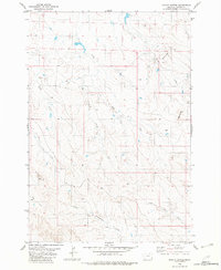
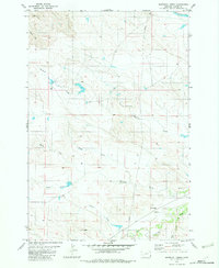
1982 Map of Potato Buttes
USGS Topo · Published 1982About this map
The Potato Buttes rise as the defining landmarks of this southeastern Montana landscape, anchoring a terrain shaped by an intricate network of seasonal drainages. During this era of the early 1980s, the region remains a sparsely settled expanse defined by ranching and traditional land use patterns. Water sources are the primary orientation points for travelers and residents, with Deep Creek and L O Creek cutting through the northern sections while East L O Creek and South Butte Creek define the southern drainage. The presence of the Flattops and a prominent Trail through the central portion of the quadrangle suggests the enduring importance of natural high-ground corridors in navigating the high plains of Carter County.
Find a feature on this map
13 named features on this map. Tap any name to fly to it.
Don’t see what you’re looking for? This feature index may not catch every label — zoom into the map to look around manually.
Map Details
Editions of this 1982 Potato Buttes Map
This is the sole edition of this map. No revisions or reprints were ever made.
Other maps of this area

1954 · Ekalaka
USGS Topo · 1:250,000

1956 · Ekalaka
USGS Topo · 1:250,000

1958 · Ekalaka
USGS Topo · 1:250,000

1965 · Ekalaka
USGS Topo · 1:250,000

1980 · Prairie Dog Creek
USGS Topo · 1:24,000
1980 · Alzada NW
USGS Topo · 1:24,000
1980 · Finger Buttes West
USGS Topo · 1:24,000

1981 · Alzada
USGS Topo · 1:100,000
1982 · Black Point NE
USGS Topo · 1:24,000
1982 · Whitetail Creek
USGS Topo · 1:24,000