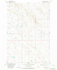
1982 Map of Black Point NE
USGS Topo · Published 1982About this map
The Fruit Ranch settlement stands as a primary landmark in this corner of Montana’s southeastern rangeland. The landscape is defined by the intricate dendritic drainage patterns of the Cottonwood Creek system, specifically North Cottonwood Creek and South Cottonwood Creek. These watercourses, along with Middle Creek and Duncan Creek, dictated the placement of ranching operations and primitive roads during this era. The topographic detail shows a network of fence lines and windmills typical of the late twentieth-century cattle country, where water features like Long Draw provided essential navigation points for local inhabitants and travelers crossing the open plains of Carter County.
Find a feature on this map
6 named features on this map. Tap any name to fly to it.
Don’t see what you’re looking for? This feature index may not catch every label — zoom into the map to look around manually.
Map Details
Editions of this 1982 Black Point NE Map
This is the sole edition of this map. No revisions or reprints were ever made.
Other maps of this area

1954 · Ekalaka
USGS Topo · 1:250,000

1956 · Ekalaka
USGS Topo · 1:250,000

1958 · Ekalaka
USGS Topo · 1:250,000

1965 · Ekalaka
USGS Topo · 1:250,000
1980 · Alzada NW
USGS Topo · 1:24,000
1980 · Alzada
USGS Topo · 1:24,000
1980 · Finger Buttes West
USGS Topo · 1:24,000

1981 · Alzada
USGS Topo · 1:100,000
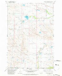
1982 · Cochran Reservoir
USGS Topo · 1:24,000
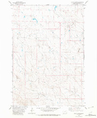
1982 · Potato Buttes
USGS Topo · 1:24,000