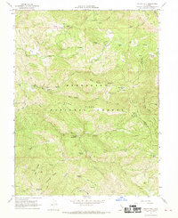
1967 Map of Potato Hill
USGS Topo · Published 1969About this map
Mendocino National Forest defines this high-elevation landscape, where deep drainages like Rice Creek and the South Fork Stony Creek carve through prominent features like Long Ridge and Hale Ridge. In the late 1960s, this area served as a primitive retreat, evidenced by remote improvements such as Snow Mountain House and the Crabtree Hot Springs. The map reveals a network of Pack Trails and Jeep Trails connecting isolated water sources and campsites, including the Bear Creek Campground and the Kir Boot Spring Water Tank Campground. These features suggest a period of active wilderness management and recreational use before more modern access reached these summits. Geologic features like the Blue Slides Ridge and various named glades like Mauser Glade and North Glade offer specific points of interest for those studying the physical history of the Lake and Colusa county line.
Find a feature on this map
50 named features on this map. Tap any name to fly to it.
Don’t see what you’re looking for? This feature index may not catch every label — zoom into the map to look around manually.
Map Details
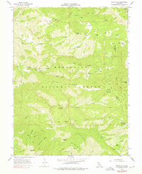
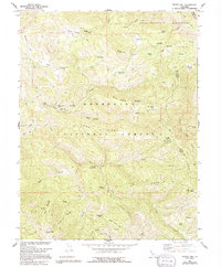
Editions of this 1967 Potato Hill Map
3 editions found
Other maps of this area

1922 · Hullville
USGS Topo · 1:62,500

1924 · Bartlett Springs
USGS Topo · 1:62,500

1938 · Lakeport
USGS Topo · 1:62,500

1942 · Bartlett Springs
USGS Topo · 1:62,500

1944 · Bartlett Springs
USGS Topo · 1:62,500

1951 · Lake Pillsbury
USGS Topo · 1:62,500

1951 · Lakeport
USGS Topo · 1:62,500

1951 · Stonyford
USGS Topo · 1:62,500

1957 · Ukiah
USGS Topo · 1:250,000
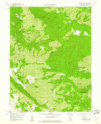
1958 · Bartlett Mtn
USGS Topo · 1:24,000