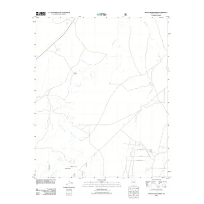
2011 Map of Potato Wash North
USGS Topo · Published 2011About this map
Chevelon Creek and Potato Wash carve through this section of the high desert plateau in Navajo County. This landscape is defined by its water management infrastructure, where numerous stock tanks like Antelope Tank, Durant Tank, and Horse Pasture Tank support ranching activities across the arid terrain. The geography is further marked by Wildcat Canyon and the Points of Wildcat in the southern reaches, where the drainage systems converge.
Find a feature on this map
24 named features on this map. Tap any name to fly to it.
Don’t see what you’re looking for? This feature index may not catch every label — zoom into the map to look around manually.
Map Details
Editions of this 2011 Potato Wash North Map
This is the sole edition of this map. No revisions or reprints were ever made.
Other maps of this area

1886 · Holbrook
USGS Topo · 1:250,000

1893 · Holbrook
USGS Topo · 1:250,000

1954 · Holbrook
USGS Topo · 1:250,000

1955 · Sunset Knoll 2 SE
USGS Topo · 1:24,000

1955 · Sunset Pass
USGS Topo · 1:62,500

1957 · Holbrook
USGS Topo · 1:250,000

1958 · Holbrook
USGS Topo · 1:250,000

1960 · Holbrook
USGS Topo · 1:250,000

1965 · Chevelon Crossing
USGS Topo · 1:24,000

1970 · Red Knoll
USGS Topo · 1:24,000