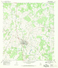
1968 Map of Poteet
USGS Topo · Published 1971About this map
Poteet serves as the primary hub of this South Texas landscape, situated along the Atascosa River and organized around the remnants of transport history like the Old Railroad Grade. The area is notably dense with small family and community burial grounds, including Madre Dolorosa Cem, San Pedro Cem, and Zavala Cem, reflecting a deep-rooted genealogical record of local settlement. Outside the main town, the terrain is defined by drainage systems like Rutledge Hollow and Palo Alto Creek. The presence of a Landing Strip and numerous pipelines indicates an economy evolving with modern utility and aviation needs, while the community of Ditto remains a distinct named point of interest in the northwestern corner of the sheet.
Find a feature on this map
24 named features on this map. Tap any name to fly to it.
Don’t see what you’re looking for? This feature index may not catch every label — zoom into the map to look around manually.
Map Details
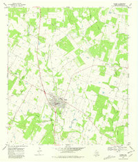
Editions of this 1968 Poteet Map
2 editions found
Other maps of this area

1953 · Crystal City
USGS Topo · 1:250,000

1954 · San Antonio
USGS Topo · 1:250,000

1955 · Crystal City
USGS Topo · 1:250,000

1956 · Pleasanton
USGS Topo · 1:62,500

1956 · Jourdanton
USGS Topo · 1:62,500

1957 · San Antonio
USGS Topo · 1:250,000

1958 · Losoya
USGS Topo · 1:24,000

1958 · Somerset
USGS Topo · 1:24,000

1958 · Thelma
USGS Topo · 1:24,000

1961 · Crystal City
USGS Topo · 1:250,000