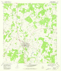
1968 Map of Poteet
USGS Topo · Published 1981About this map
The town of Poteet serves as the focal point of this South Texas survey, situated at the confluence of several vital watercourses including Rutledge Hollow, Agua Negra Creek, and the Atascosa River. The landscape is characterized by a dense concentration of family and community burial grounds, such as Madre Dolorosa Cem and Estrada Cem, which provide significant genealogical touchpoints for the region.
Find a feature on this map
23 named features on this map. Tap any name to fly to it.
Don’t see what you’re looking for? This feature index may not catch every label — zoom into the map to look around manually.
Map Details
Editions of this 1968 Poteet Map
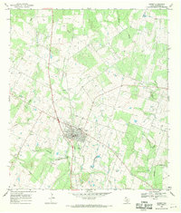
2 editions found
Other maps of this area

1953 · Crystal City
USGS Topo · 1:250,000

1954 · San Antonio
USGS Topo · 1:250,000

1955 · Crystal City
USGS Topo · 1:250,000

1956 · Pleasanton
USGS Topo · 1:62,500

1956 · Jourdanton
USGS Topo · 1:62,500

1957 · San Antonio
USGS Topo · 1:250,000

1958 · Losoya
USGS Topo · 1:24,000

1958 · Somerset
USGS Topo · 1:24,000

1958 · Thelma
USGS Topo · 1:24,000

1961 · Crystal City
USGS Topo · 1:250,000