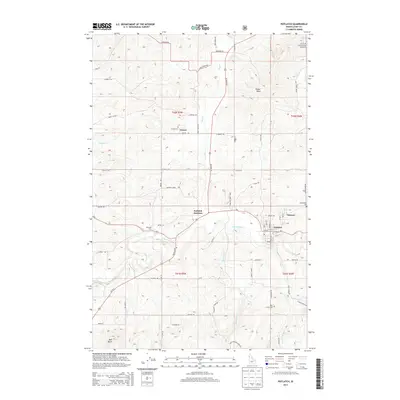
2013 Map of Potlatch
USGS Topo · Published 2013About this map
The Palouse River winds through this Latah County landscape, anchoring the historic company town of Potlatch and the neighboring community of Onaway. Long defined by its timber industry and proximity to the St Joe National Forest, the region displays a dense network of country roads and section lines connecting small outlying settlements like Freeze. For genealogists and local historians, the map identifies several significant burial grounds, including Freeze Cem, Mendenhall Cem, and Rock Creek Cem, providing a detailed look at the rural cemetery locations across the northern Idaho panhandle. The terrain transitions from the river valley to higher points such as Ball Butte and Farber Point, while the convergence of Id-6 and Highway 95 at Potlatch Junction highlights the area's role as a transportation crossroads for the surrounding forest lands and agriculture.
Find a feature on this map
66 named features on this map. Tap any name to fly to it.
Don’t see what you’re looking for? This feature index may not catch every label — zoom into the map to look around manually.
Map Details
Editions of this 2013 Potlatch Map
This is the sole edition of this map. No revisions or reprints were ever made.
Other maps of this area

1903 · Oakesdale
USGS Topo · 1:125,000

1905 · Oakesdale
USGS Topo · 1:125,000

1910 · Pullman
USGS Topo · 1:125,000

1955 · Pullman
USGS Topo · 1:250,000

1955 · Spokane
USGS Topo · 1:250,000

1957 · Tensed
USGS Topo · 1:62,500

1958 · Spokane
USGS Topo · 1:250,000

1958 · Pullman
USGS Topo · 1:250,000

1960 · Robinson Lake
USGS Topo · 1:24,000

1960 · Moscow Mtn
USGS Topo · 1:24,000