Loading...
Loading map...2024 Map of Potlatch
USGS Topo · Published 2024About this map
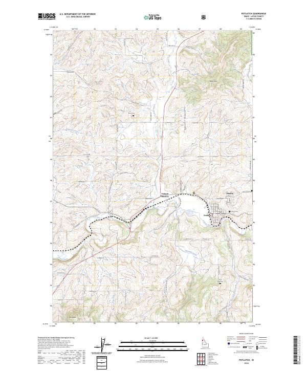
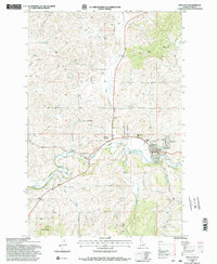
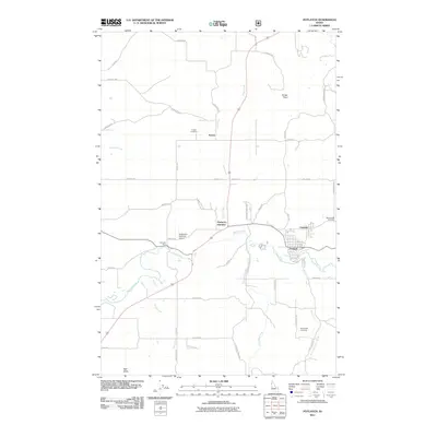
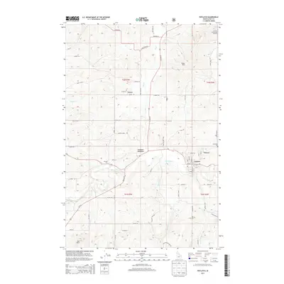
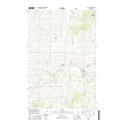
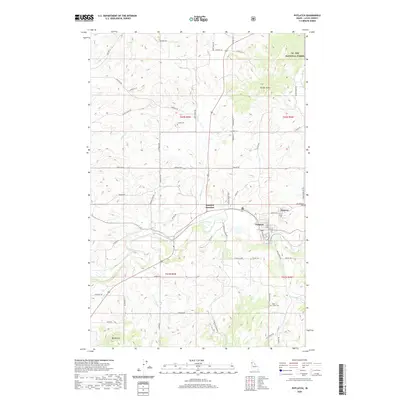
Potlatch and Onaway sit at the heart of this Idaho landscape where the Palouse River winds through the valley floor. The settlement pattern here reflects a deep connection to the river and the surrounding timber and agricultural lands, with Potlatch Junction serving as a key intersection for local transit. Family and community heritage is anchored by several long-standing burial grounds, including the Freeze Cem to the north and the Rock Creek Cem in the southeast.
Find a feature on this map
63 named features on this map. Tap any name to fly to it.
Don’t see what you’re looking for? This feature index may not catch every label — zoom into the map to look around manually.
Map Details
Date Portrayed2024
Date Published2024
PublisherU.S. Geological Survey
Map TypeTopographic
Scale1:24,000
Physical Dimensions24 x 29 inches
Editions of this 2024 Potlatch Map
This is the sole edition of this map. No revisions or reprints were ever made.
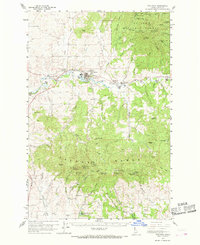
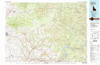
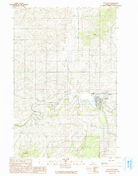
Historical Maps of Potlatch Through Time
9 maps found
Featured Locations
Source Details
SourceU.S. Geological Survey
CopyrightPublic Domain