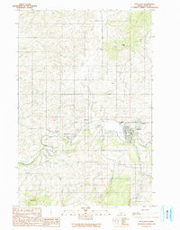
1990 Map of Potlatch
USGS Topo · Published 1991About this map
The Palouse River winds through this northern Idaho landscape, carving a valley that anchors the company-town history of Potlatch and the neighboring community of Onaway. In the early 1990s, the area reflects a transitional rural economy where industrial footprints like a Gravel Pit and a small Landing Strip sit alongside the traditional river-oriented settlements. To the west, Potlatch Junction and Kennedy Ford mark historically significant crossing points and transit nodes near where the river meets a network of local drainages, including Gnat Creek and Deep Creek. The terrain rises sharply from the riverbanks toward distinctive high points such as Farber Point in the north and Ball Butte to the south, illustrating the complex topography that constrained development to the valley floors and narrow creek basins like Flannigan Creek.
Find a feature on this map
19 named features on this map. Tap any name to fly to it.
Don’t see what you’re looking for? This feature index may not catch every label — zoom into the map to look around manually.
Map Details
Editions of this 1990 Potlatch Map
This is the sole edition of this map. No revisions or reprints were ever made.
Other maps of this area

1903 · Oakesdale
USGS Topo · 1:125,000

1905 · Oakesdale
USGS Topo · 1:125,000

1910 · Pullman
USGS Topo · 1:125,000

1955 · Pullman
USGS Topo · 1:250,000

1955 · Spokane
USGS Topo · 1:250,000

1957 · Tensed
USGS Topo · 1:62,500

1958 · Spokane
USGS Topo · 1:250,000

1958 · Pullman
USGS Topo · 1:250,000

1960 · Robinson Lake
USGS Topo · 1:24,000

1960 · Moscow Mtn
USGS Topo · 1:24,000